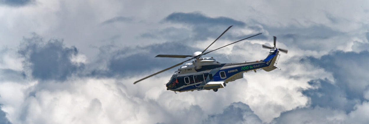
FAA Revises Helicopter Routes Around Washington, D.C.

The U.S. Federal Aviation Administration (FAA) has introduced permanent updates to helicopter route charts across the Washington, D.C. area, following safety concerns raised by the January 29 midair collision near Washington National Airport. The tragic incident, involving a U.S. Army Sikorsky UH-60 Black Hawk and a PSA Airlines CRJ700 operating for American Eagle, claimed 67 lives and prompted a comprehensive review of local airspace procedures.
The FAA’s new measures include revised helicopter zones at Washington Dulles International and Baltimore/Washington International airports, as well as significant changes around Washington National. The agency said the goal is to improve separation between helicopters and fixed-wing aircraft and reduce congestion in high-traffic corridors.
Among the key updates, the FAA has eliminated mixed helicopter and fixed-wing operations near National Airport, banned visual separation within five miles of the field, and relocated several helicopter routes farther away from main flight paths. These steps are designed to strengthen air traffic control oversight and mitigate collision risks in complex metropolitan airspace.
The FAA has also expanded its review of air traffic patterns to other congested areas, including Burbank and Van Nuys airports in California, which serve diverse aircraft types in close proximity.
The updated Washington-area helicopter charts represent part of a broader FAA safety initiative to enhance airspace management in high-density regions, reflecting lessons learned from one of the nation’s deadliest aviation accidents in recent years.
Related News: https://airguide.info/category/air-travel-business/business-aviation/
Sources: AirGuide Business airguide.info, bing.com, ch-aviation.com
